Groundwater Modeling in Buschhagenniederung, Germany
This project models groundwater levels in Buschhagenniederung, a protected wetland area in northwestern Germany, where drainage ditches currently regulate water levels. As maintaining these dikes and ditches becomes increasingly costly, local authorities are considering reducing or abandoning active water management. To support this decision, this project estimates the spatial distribution of groundwater across the landscape. By understanding how groundwater behaves under current conditions, the analysis provides insight into how the area may naturally evolve, particularly whether it will transition toward wetter, marsh-like ecosystems.
1) What is the spatial distribution of groundwater levels between the two drainage ditches?
2) How does groundwater depth relate to surface elevation across the study area?
3) Are there areas where groundwater reaches or exceeds the surface, indicating wetland conditions?
4) What do current groundwater patterns suggest about future landscape and vegetation if drainage is reduced?
Elevation data and measured ditch water levels were used to model groundwater across the study area. A digital elevation model (DEM) was created from point data, and groundwater levels between the ditches were calculated using a hydraulic equation. These values were interpolated using IDW to generate a continuous groundwater surface. The model was adjusted to account for an impermeable layer, and depth to the water table was calculated by comparing groundwater levels to surface elevation.

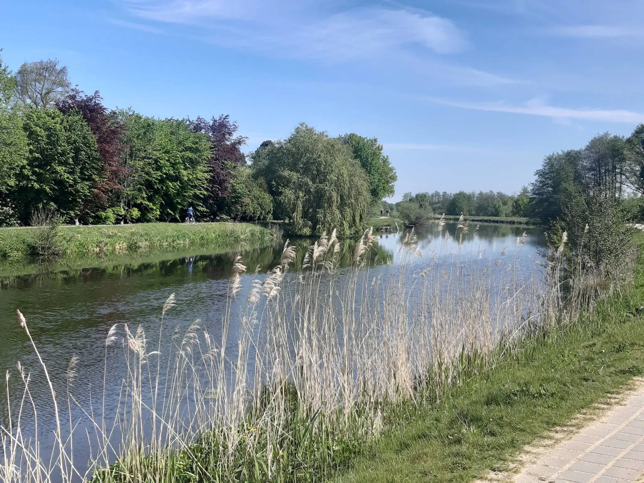
Surface elevation is highest in the southwestern portion of the study area and gradually decreases toward the east, with values ranging from approximately 4.8 m to 2.2 m (Fig. 1). The elevation is higher in the southwest and west and gets lower in the east, with values ranging from 4.8m to 2.2m.

Hx values were used to estimate groundwater levels between the drainage ditches using measured water levels and distance-based interpolation, allowing a continuous groundwater surface to be modeled. The groundwater level is highest in the center of the study area at up to 10.5m, and lower around the western edge (Fig. 2).

Inverse Distance Weighting (IDW) interpolation was applied to the calculated groundwater values to generate a continuous groundwater surface across the study area (Fig. 3).

Depth to water table values were calculated relative to an assumed bedrock depth of 7 m (Fig. 4). Groundwater depth ranges from approximately -0.06 m to 2.5 m, with shallower groundwater conditions concentrated in the central portion of the site and deeper conditions occurring near the eastern edge.
The results suggest that much of the area functions as a wetland system, where groundwater occurs at or above the surface. This has important implications for future vegetation if drainage is reduced or abandoned.
However, the accuracy of the model is limited by the number and distribution of input data points and the assumptions of the interpolation method. Using more measurement points and incorporating additional hydrological factors could improve the reliability of the results.
Download full report (PDF)

Best AI Website Maker
← Previous
All Projects
Next →